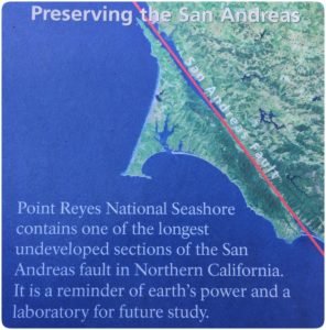
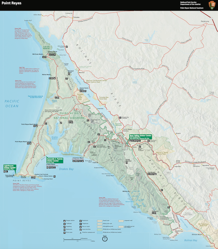
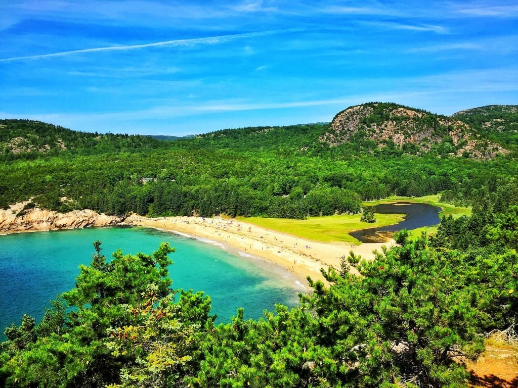
One of America’s most natural wonders sits directly in the path of one of the world’s most well-known earthquake zones: the San Andreas Fault. Point Reyes National Seashore has spectacular beauty, abundant flora and fauna, and magnificent coastal cliffs. Yet the ground under it all is constantly on the move.

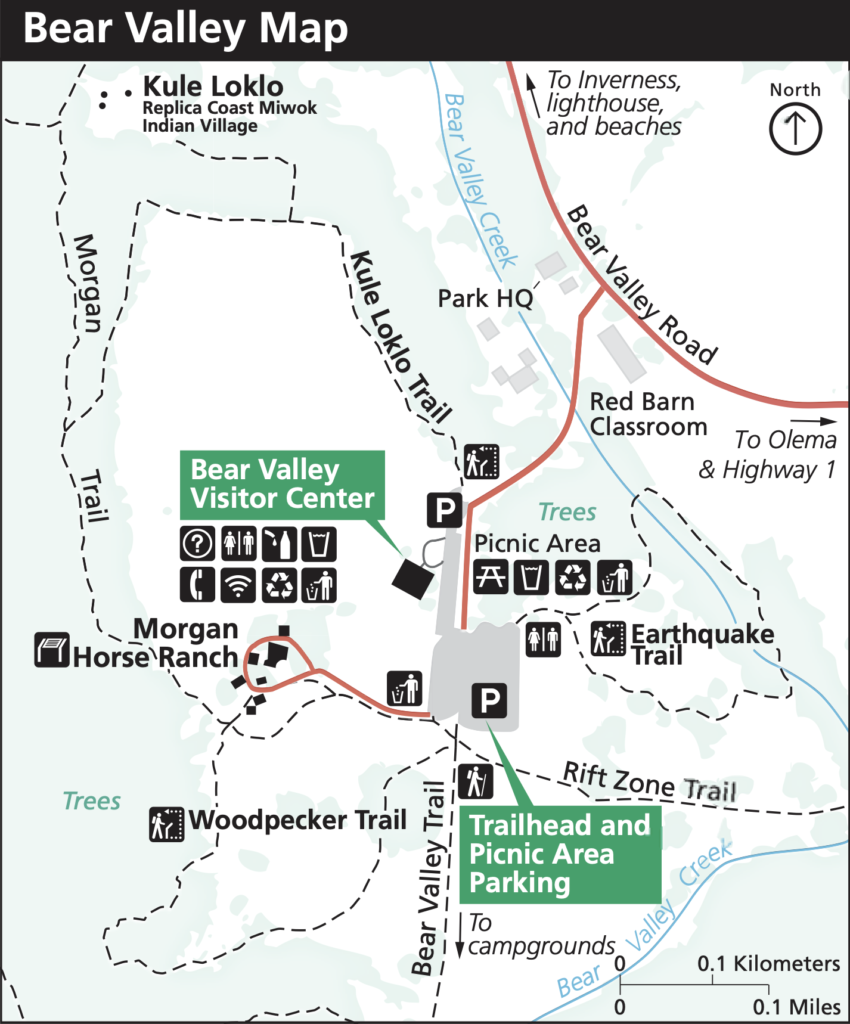
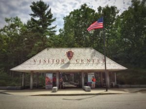
The San Andreas Fault is the tectonic plate boundary between the Pacific Plate and the North American Plate. That plate boundary slowly moves an inch-and-a-half to two inches a year — about the same speed a fingernail grows. The last time stress between the two plates built-up and slipped was 1906, which caused the Great San Francisco Earthquake. The quake remains the worst natural disaster in California’s history. More than 3,000 people died and over 80% of San Francisco was destroyed. The San Andreas Fault is approximately 750-miles long and runs through most of California. At Point Reyes National Seashore, you can hike the Earthquake Trail, an easy paved loop around the fault zone. The trail is less than a mile and has signs posted with information about the fault line’s history and impact on the local landscape. Earthquake Trail is just a short walk from the Bear Valley Visitor Center.

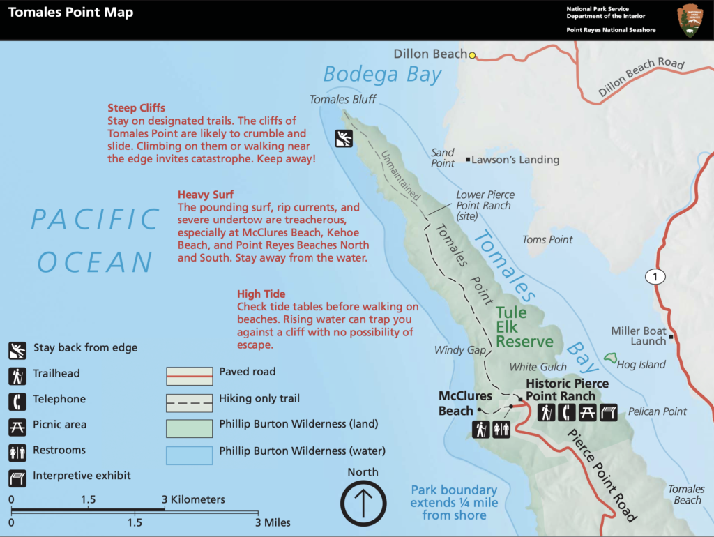
The Tomales Point Trail parallels the fault line. While hiking Tomales, you’ll likely be awestruck by the stunning scenery along the peninsula. On one side is Tomales Bay; the other is the Pacific Ocean. The one-way trail is approximately nine miles roundtrip, but you don’t have to hike all the way out to Tomales Point, where the trail becomes more rugged.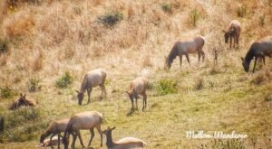 There’s only a slight elevation during the first several miles.
 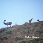 Stop and admire the wildflowers, especially in spring and summer when they are in full bloom. Along the way, you’ll probably see a herd of free-range Tule Elk. The herd grazes near the trail, but hikers are advised not to approach or disturb them. It’s best to stay on the trail the entire time. Tule Elk are only found in California. Tomales Point is a 2,600-acre reserve for the Tule Elk to roam. About half the herd is less than five years old. The best time to view elk is between August and October during mating season. You can often hear bull elk bugling from the top of the hills as they round-up females. Bring binoculars and a camera with a telephoto lens for great close-up views and pictures.
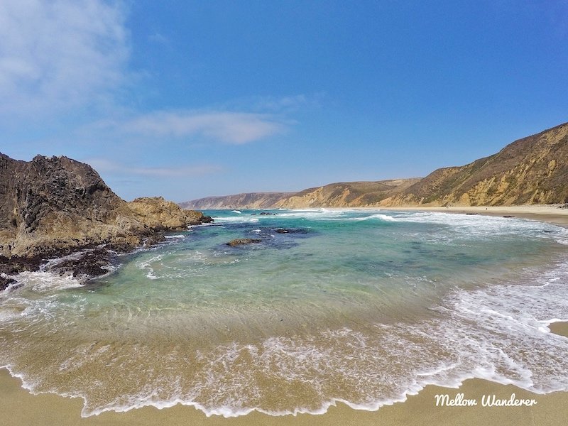
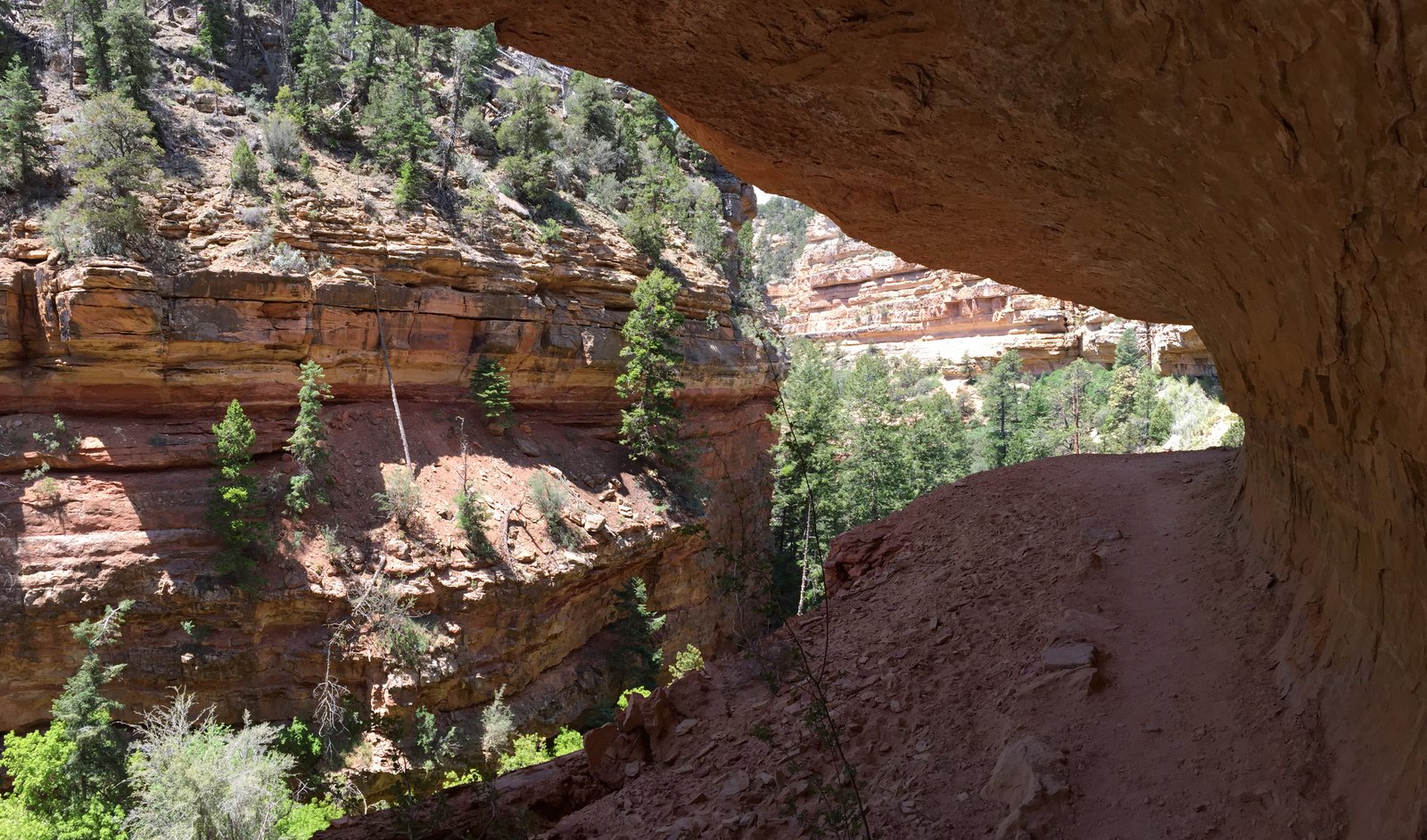
From the same Pierce Point Road parking lot where you enter the Tomales Point Trailhead, you will find another hiking trail descending to remote McClures Beach, a small cove hugged by towering rocky cliffs. 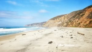 The hike is about a half-mile and follows a meandering creek down to the beach. Walking along the water’s edge is peaceful, refreshing, and mostly isolated. You can explore tidepools, or just sit on the beach and drink in the fabulous views. If you go for a swim, beware of rip currents and sneaker waves.
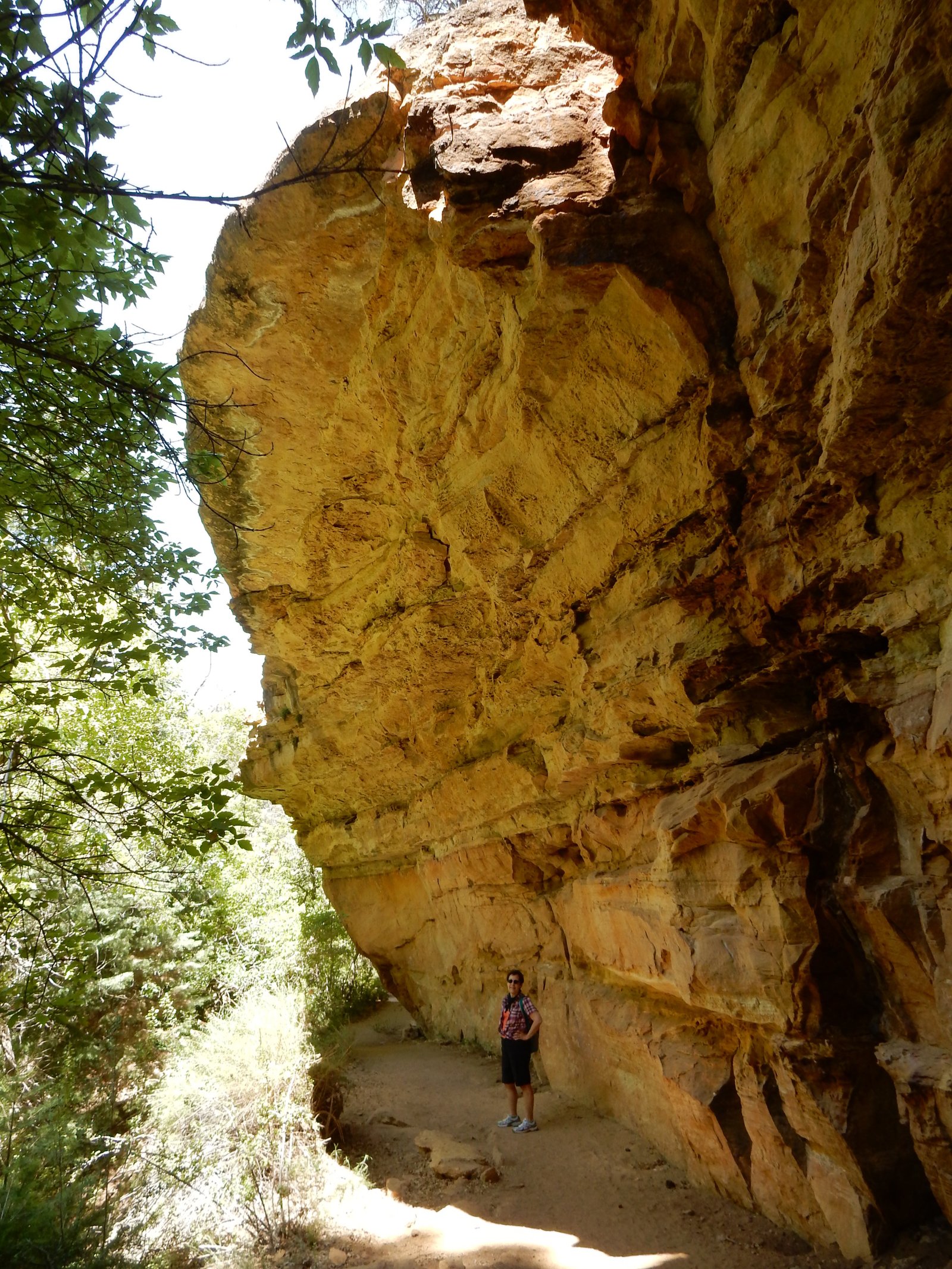
 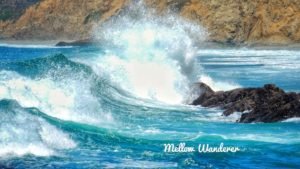 A sneaker wave happens suddenly and is higher, stronger, and extends farther onto the beach than a normal wave. There are no lifeguard stations. The surf here is alluring, but intense, so stay alert. Also, be cautious of the cliffs and bluffs while on the beach. They can be unstable since they’re formed of soft rock and are vulnerable to landslides and rockfalls. You certainly don’t want to setup a beach camp next to the cliffs. Save enough energy at the end of your beach day for the half-mile ascend on the trail back to the parking lot. (Click the video below for scenic views of McClures Beach and the Tomales Point Trail)
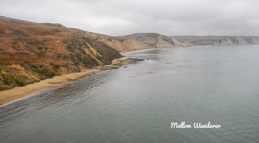
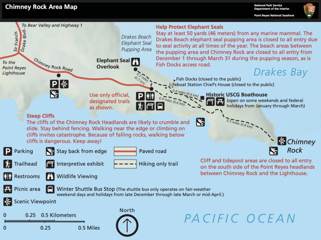
Another popular trail is Chimney Rock, where Drakes Bay and the Pacific Ocean meet. This is a relatively easy hike of less than two miles. Keep a lookout for gray whales, as the waters here are popular migration routes and feeding grounds.
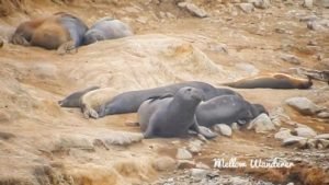
Take the trail to the Elephant Seal Overlook. These incredible sea mammals almost became extinct at the turn of the 20th century due to overharvesting. Back then, their blubber was a popular source of fuel. Once protections took hold, elephant seals returned to Point Reyes in the 1970s. The population bounced back in a big way. There are now over 3,000 elephant seals at Point Reyes National Seashore. Chimney Rock is an excellent viewing area.
Map Your Journey
(Click The Title Below Each Map For A Full Screen View)


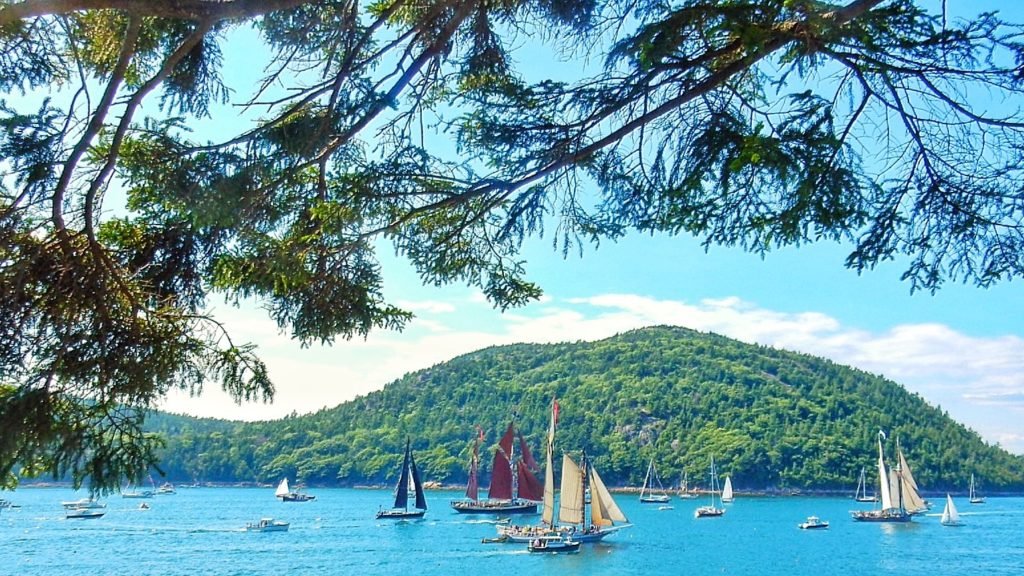
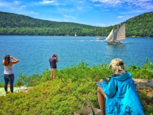 On a cool, breezy sunny afternoon, full-sail schooners gracefully glided through the water, making several passes around the Sound to applause from hundreds of enthusiastic spectators, who gathered hours earlier to park along the waterfront off Sargent Drive.
  The
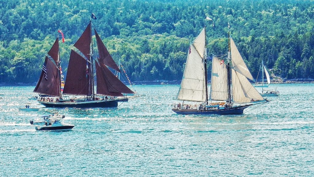
The  Over its life the vessel has transported fish, coal, lime, bricks and today up to 21 paying passengers on vacation. The 95 foot
  The
The